Ground Penetrating Radar
GPR Utility Scanning in Boynton Beach
Understand potential subsurface conditions before your next project. Get a Free Estimate
Ground Penetrating Radar
Understand potential subsurface conditions before your next project. Get a Free Estimate
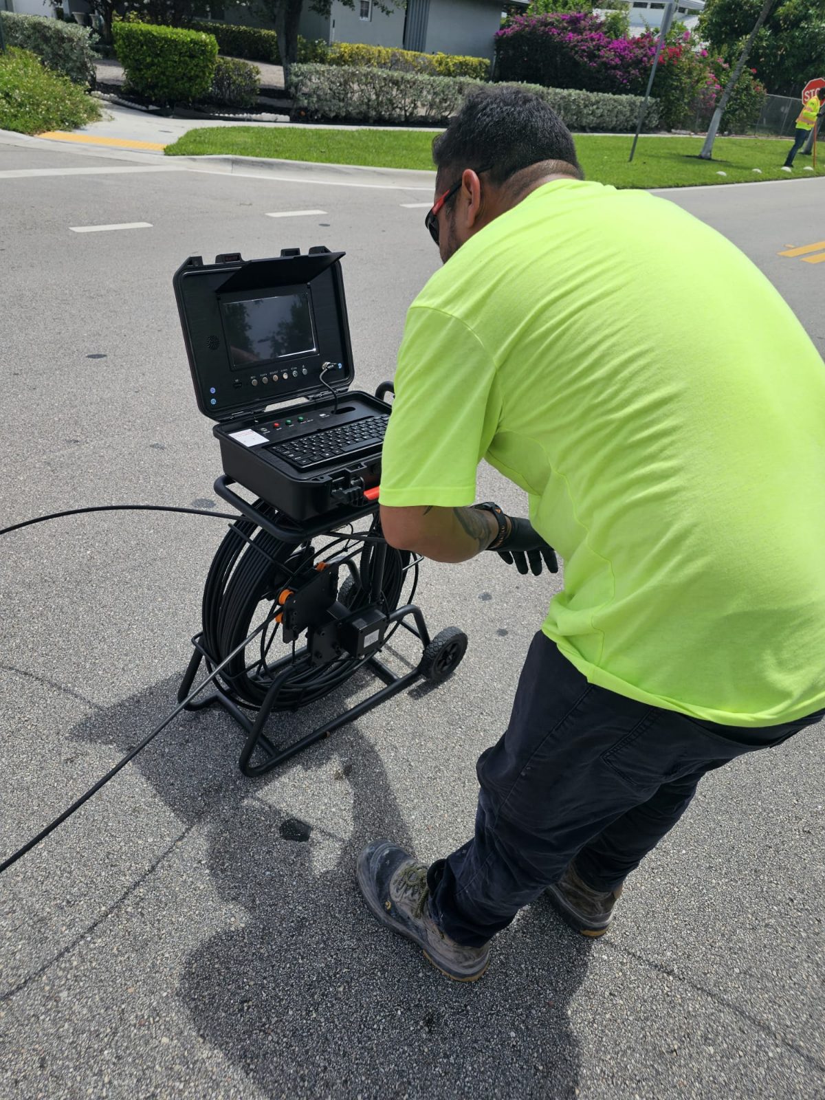
GPR utility scanning uses ground penetrating radar to investigate subsurface conditions without immediately excavating the ground. The equipment sends electromagnetic energy into the surface and records reflected signals from underground interfaces and objects. A trained interpretation of these responses can help identify potential utilities and other anomalies relevant to construction, drilling, and excavation planning.
For projects in Boynton Beach, Delray Beach, and Lake Worth Beach, GPR may be useful where buried features are uncertain or where disturbing the surface to investigate is undesirable. The results depend on soil composition, moisture, surface materials, target size and material, depth, and equipment selection. Scanning is a non-destructive investigation method, not a guarantee that every buried utility or feature will be detected.
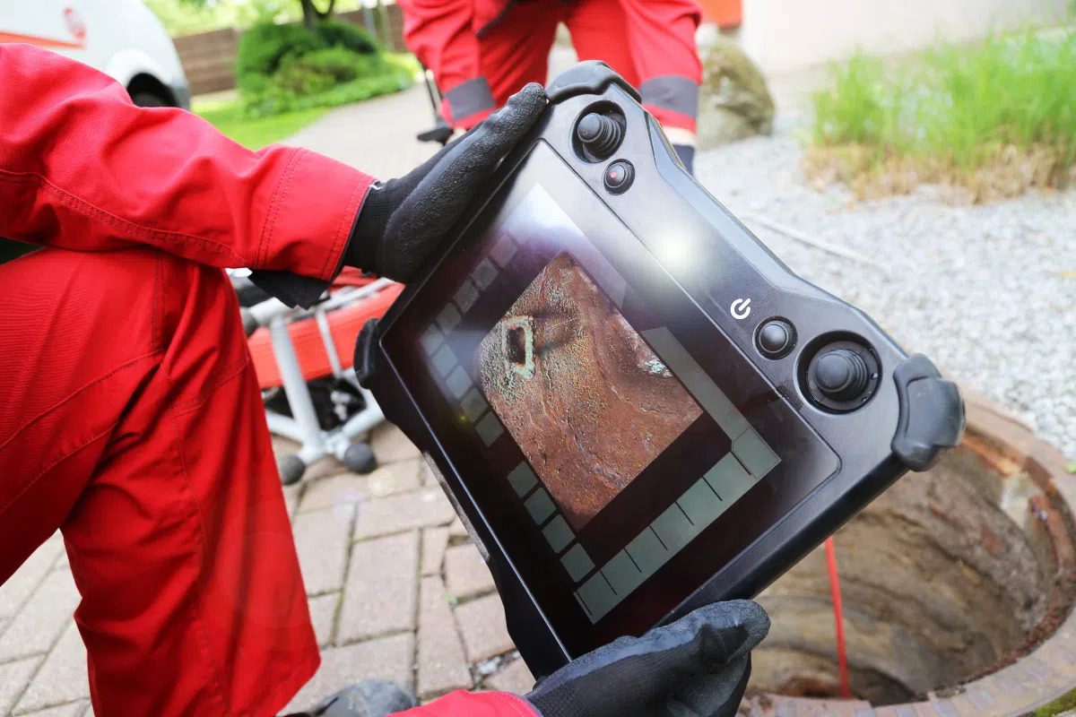
GPR can support many types of underground investigation. The specific approach should be based on the question being asked, the characteristics of the site, and the type of information needed before work begins.
Investigate potential buried utility routes and subsurface responses within a defined work area. GPR may help identify targets that warrant further investigation, but results can vary substantially with utility material, depth, and ground conditions.
Review selected areas before planned construction or excavation to help identify potential underground conflicts. Scanning can support project planning and highlight locations where additional checks may be appropriate.
Where suitable equipment and expertise are available, GPR can also investigate certain features within concrete or beneath paved surfaces. The scan requirements depend on the material, target, and intended construction activity.
GPR responses may reveal changes or anomalies beneath the surface that deserve further evaluation. An anomaly is not automatically a confirmed utility, void, or other specific object; interpretation and, where necessary, independent verification remain important.
| Service | Estimated Cost | Average |
|---|---|---|
| Targeted scanning area | Quote required | Depends on scope |
| Large or complex work area | Quote required | Depends on site conditions |
| Specialized subsurface investigation | Quote required | Depends on equipment and analysis |
No fixed prices or verified market averages are provided. A project-specific estimate should account for area size, access, surface conditions, expected depth, equipment, interpretation, reporting needs, and scheduling.
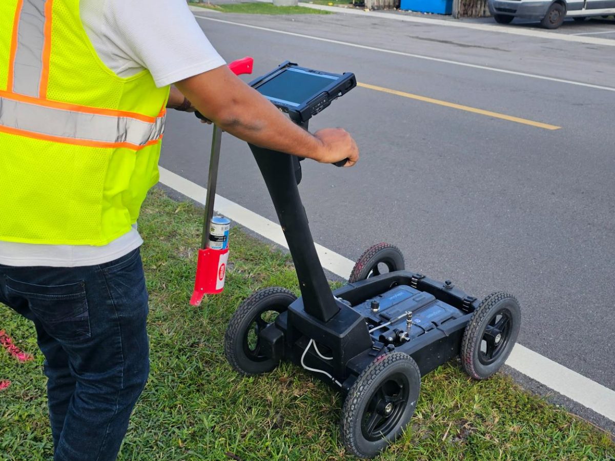
GPR can provide useful subsurface information without requiring immediate excavation, helping teams make more informed decisions about where further checks may be needed.
We recognize that radar performance varies. The proposed scope should reflect site conditions, and results should be understood alongside the method's limitations.
Clear information about the target area and intended work helps make the investigation more relevant to the decisions the project team needs to make.
Need GPR scanning for a South Florida property? Describe your site and planned work to request an estimate.
Free — no obligations
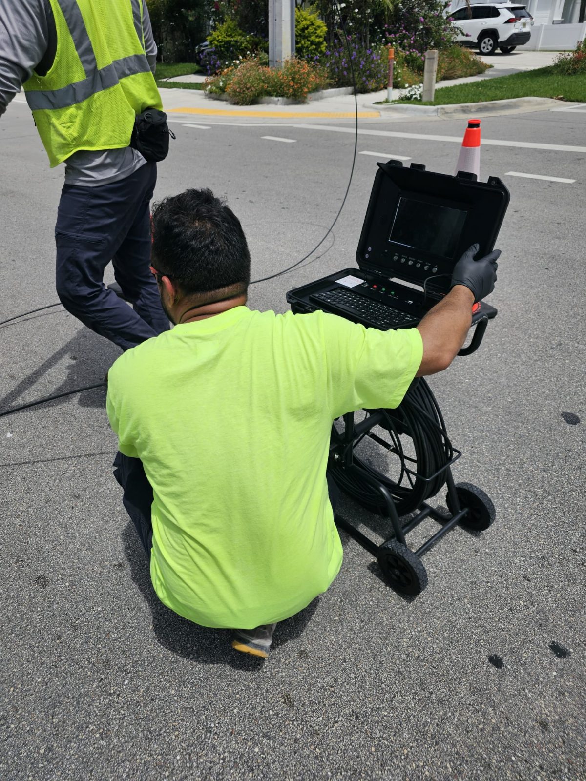
Identify the area to scan, the type of buried feature being investigated, and the construction or excavation activity being planned.
Review access, surface materials, available records, and expected targets to determine whether GPR is suitable for the task.
Scan the agreed area using an appropriate method and equipment configuration where site conditions permit.
Review relevant responses, explain the limitations of the findings, and identify locations that may require additional verification.